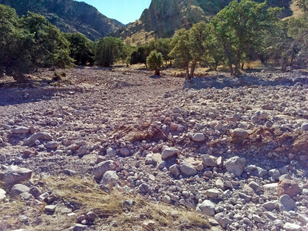
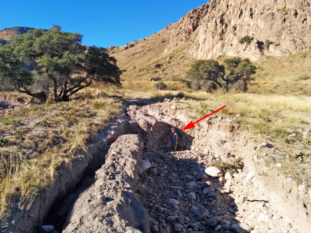
In an otherwise rather boring month, we had a bit of activity here around a proposed change to the road into the national forest near our house.
This had come up a few years ago when there was some local discussion about an easement being purchased and thoughts that it was exorbitantly priced and some kind of boondoggle. (For those unfamiliar, an easement is a non-possessory right to cross or otherwise use someone else’s land for a specified purpose.) As a frame of reference, it was said that an easement on a three acre piece of land was being purchased for $80,000. The going rate for undeveloped land here is about $1,000 per acre. At the time, we weren’t that connected to what was going on and there was no public comment period that I was aware of. Afterward, we didn’t really hear much about it, and there was no activity on it that we were aware of.
Then last month, we heard that there was a National Environmental Policy Act (NEPA) proposal out for constructing a new road into Horseshoe Canyon.
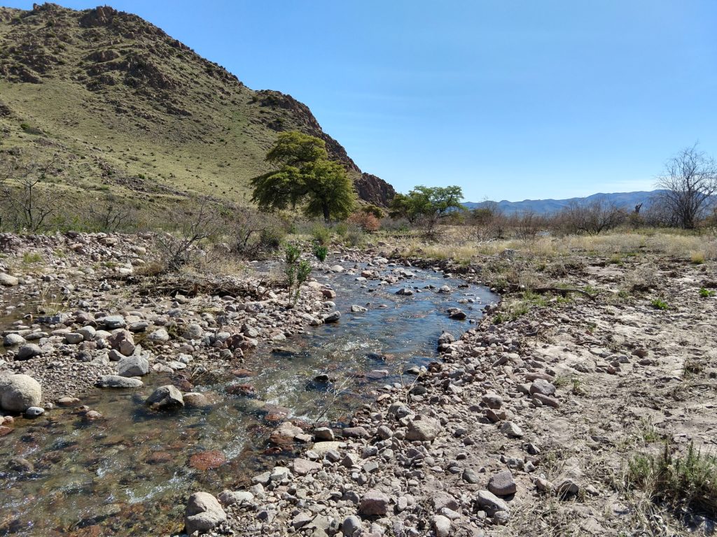
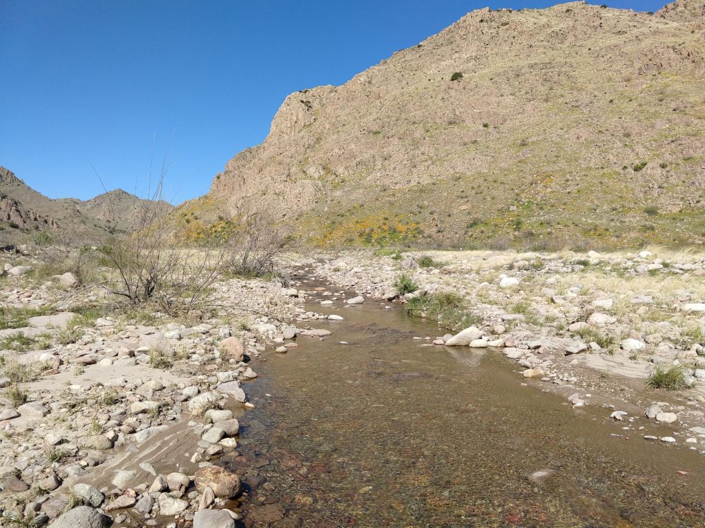
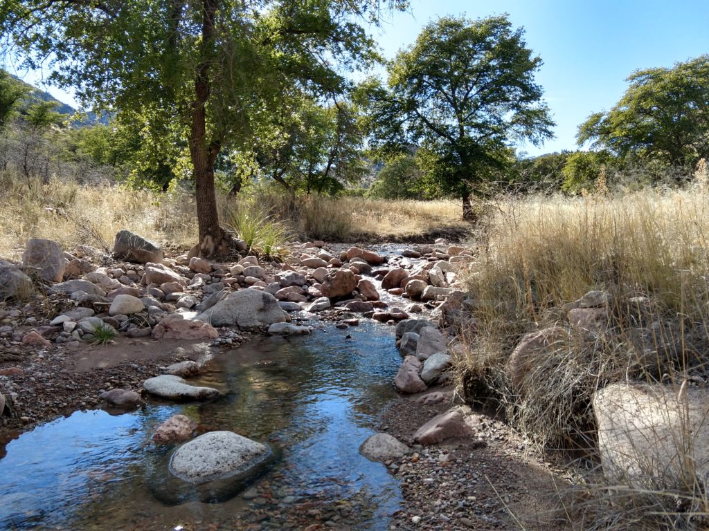
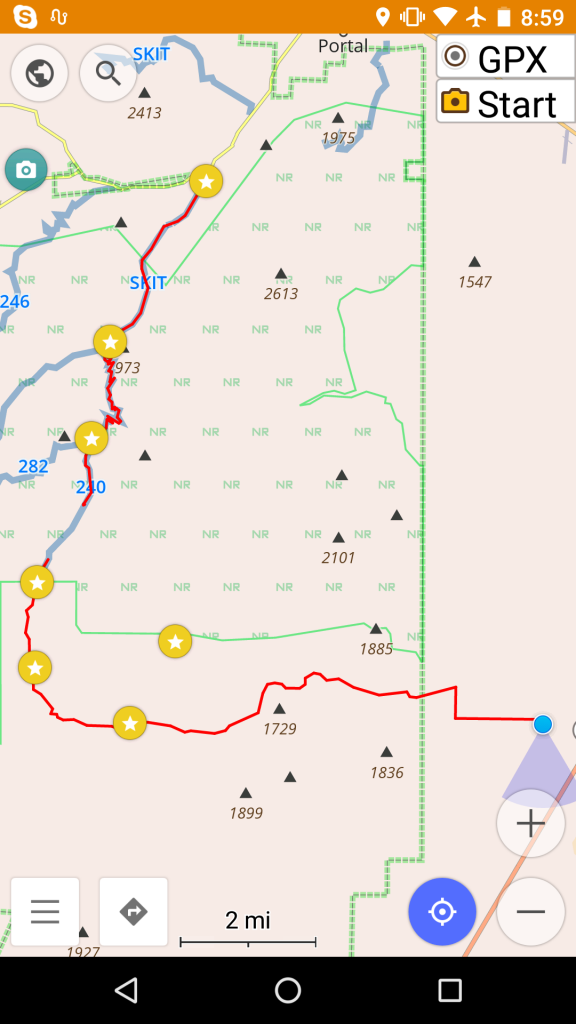
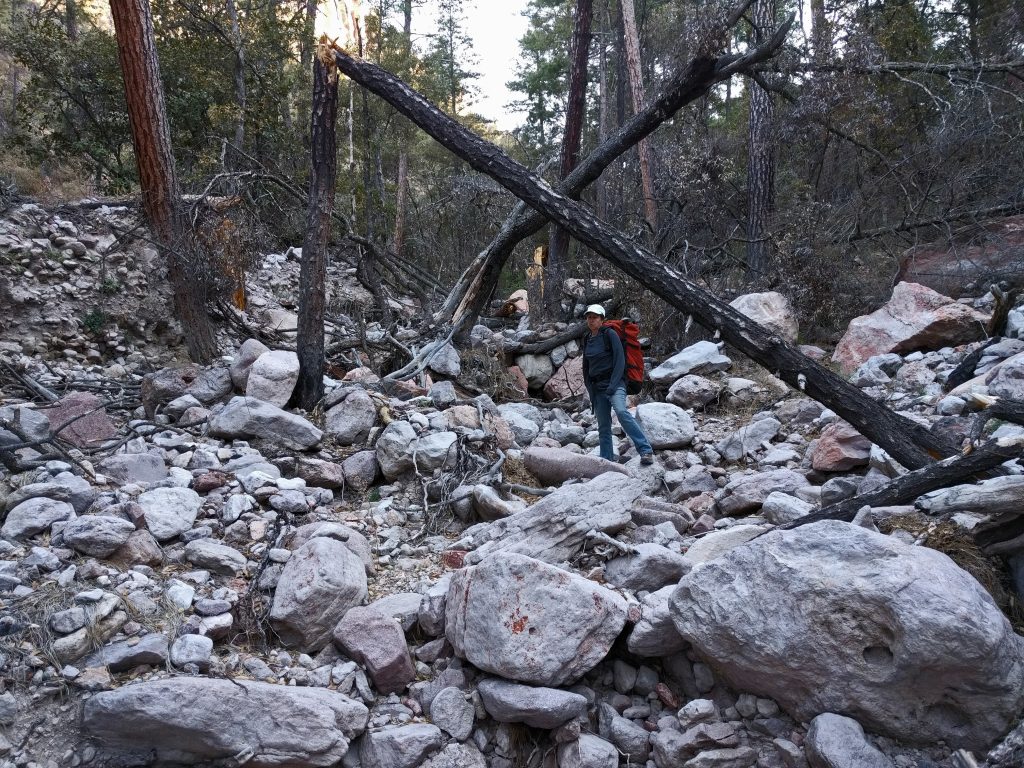
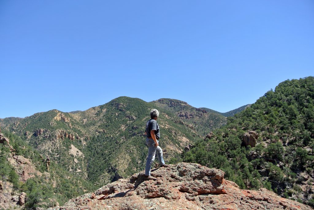
As background, Horseshoe Canyon in the Chiricahua Mountains is directly to the west of us. We are about three miles from the forest service border, and we hike there regularly. Between the highway and the forest service border is mostly private land like ours. At the mouth of the canyon, there is a fence and cattle corrals which are used by a local rancher, who free ranges cattle on this side part of the year and has a lease to range them in the forest part of the year. There are currently two ways to access the forest land by vehicle: Sunrise Road (where we live) and Zent Road (one mile north of us). Both of the roads then go into Horseshoe Canyon Road through the corrals and into the canyon
The USFS proposal said that the new construction was being undertaken to “construct small sections of road to connect existing system roads to system roads that currently do not have public access due to intervening private land.” Further they said that Horseshoe Canyon ” lacks legal access.”
This surprised me since for the twelve years we’ve lived here, there have been two roads that access the canyon and no problems with motorized access. I understand that other areas, notable the Peloncillo Mountains to the east of us, have had large amounts of public land rendered inaccessible by private land owners who have locked off access roads. However this was not the case here.
By the time we heard about this, there was a very short window for asking questions or submitting public comments. In talking with our neighbors, no one had heard about this. (The USFS says that they posted the project publicly on their web site and in some far away newspaper no one here gets, but did not contact any of the affected landowners. Like many other things, they said this was not their responsibility.) We asked for a public meeting to discuss this. We were told that would not be done. Another neighbor requested the same and got the same answer. In the meantime, we submitted comments based on the information we had. (Other public comments were typically in two categories: hunters, etc. supported the proposal and said motorized access is essential and conservationists, etc. who opposed the proposal and said no more roads were needed.) When a third (or maybe more) person asked for a public meeting, one was finally granted.
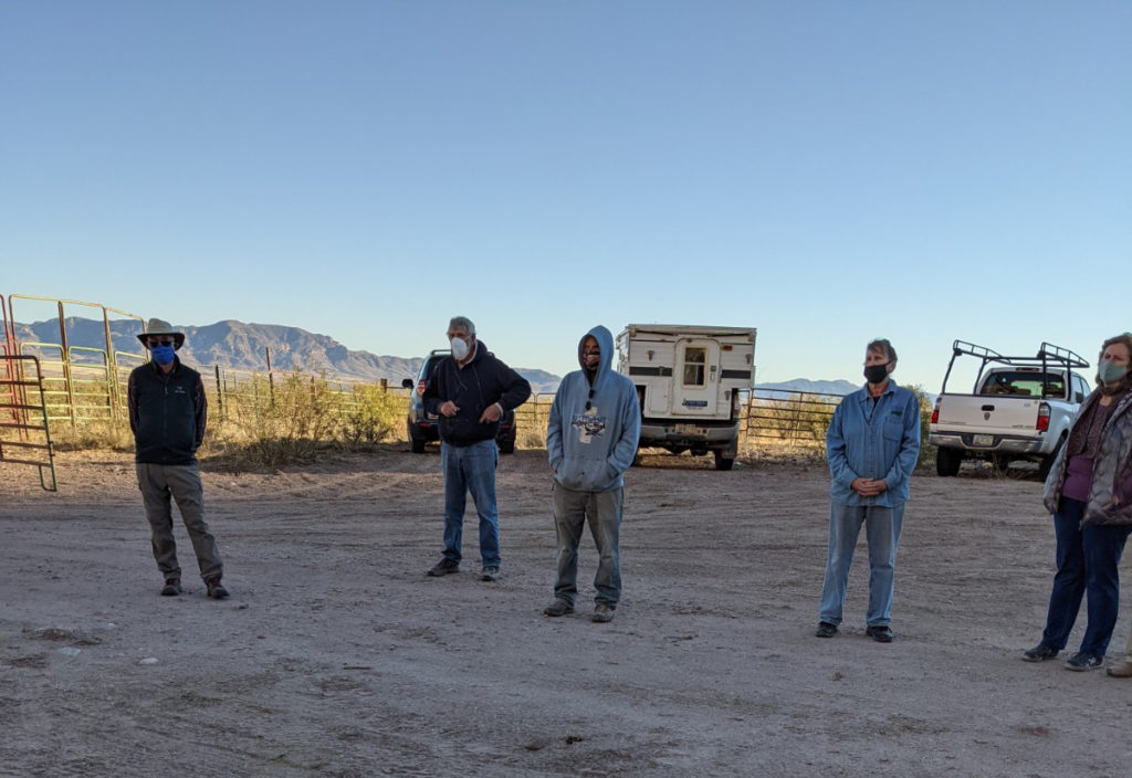
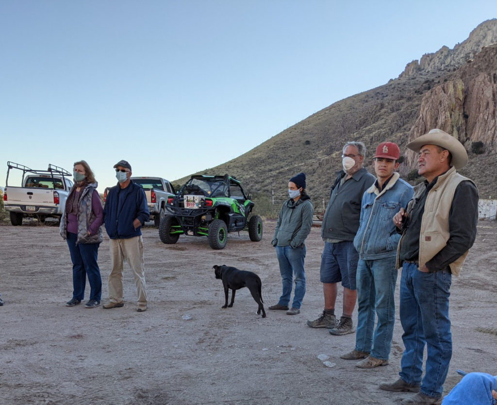
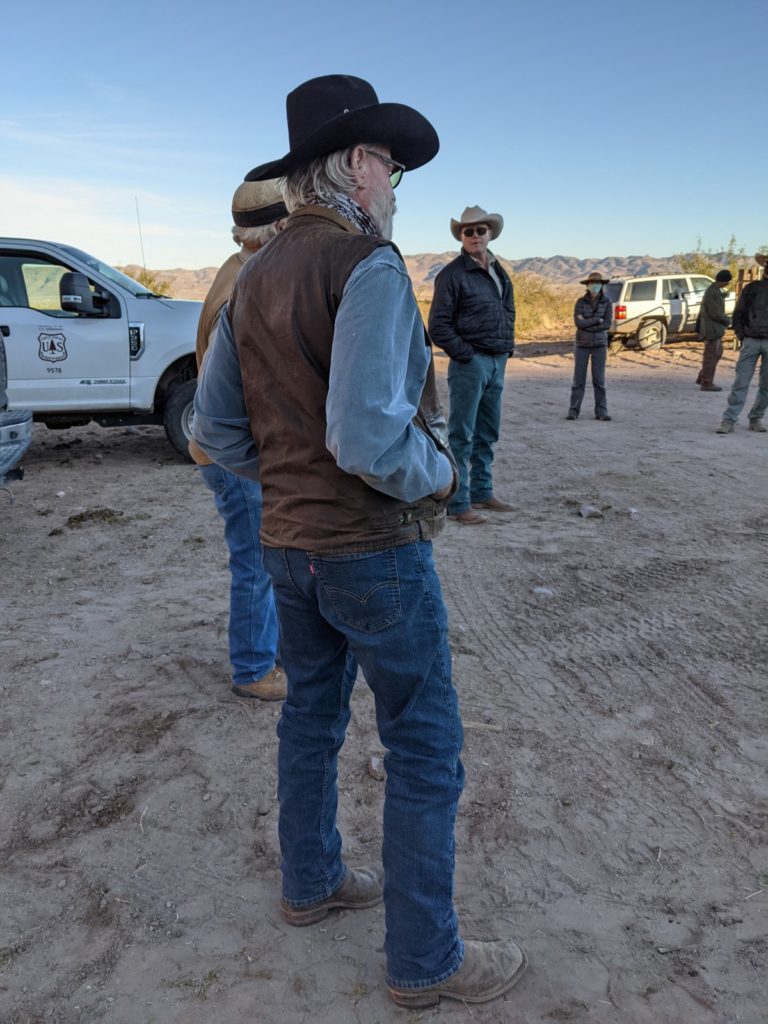
We had that meeting last week, standing outside the mouth of the canyon. There was a good sized group of people, including the most affected land owners.
The meeting was…unsatisfying. Here were some highlights:
- The forest service District Ranger made it clear that this was all his decision and said several times said this was a done deal. (Not very helpful given that this was a meeting to discuss this with local landowners who were previously unaware of it and that the project is still in early stages of evaluation.)
- There was considerable opaqueness and misdirection on the part of USFS.
- There was a lot of talk about the process, why people weren’t contacted, etc. There was also a lot of confusion because the current NEPA only applies to the small piece of proposal road in the forest; the other access road will apparently be treated differently.
- According the District Ranger, there is no plan in place for how the new road will be paid for. (I suspect outside funding may be used as was done for the easement.)
- Border Patrol is a significant user of this access and has said that they would not pay for maintenance of the forest road unless there was a clear public easement from the highway. (Consensus was that they would be unlikely to fund that in any event. I agree.)
- The easements were bought (unclear if this is all done or not) by Arizona Fish and Game in part because “it’s … frequently looked upon badly when the federal government is buying up big tracks of land.”
- There are not only issues on the easement for the small area proposed for the new road, but also all the way down Sunrise to the highway. The District Ranger claimed that the easement did not previously exist but was recently purchased (news to us). Others claim that there is no easement. (This is something I’ll need to research.)
- Forest Service’s plan after building the new piece of road is to make Sunrise a forest service road (one that they will have no commitment to maintain, but no one but landowners maintain it now anyway). From our perspective, this is likely to increase traffic into the canyon.
- The key landowner is the cattle rancher who owns the corrals. (Note: He is a new owner and the easement was purchased before his ownership.) I had talked to him before the meeting and then also asked him his feelings at the meeting. He was very careful and conciliatory to say that he didn’t want to make waves and wouldn’t take a position one way or the other. However, based on his comments and the District Ranger’s mention of discussions they had prior, it was clear that he would not oppose the new road and would lock his gate when this was done. (After the meeting, I jokingly asked him if he would have sold the easement for $80k, and he said, of course.)
Based on this last point, it’s hard for me to object to the proposal formally. (I’m still thinking this through though.) It’s his land, and if he wants to lock his gate, that’s his right.
But I suspect he’s persuadable to other view points, and the real decision was made by forest service who has made a real shit show of this process.
I think building this new road is a complete waste of taxpayer money, as was the purchase of the easement. (Longer story on that which I’m not going to detail here.) There are ways to achieve everyone’s goals at a lower cost. However, like many others, the USFS seems unfamiliar with ideas of sunk costs, transparency, and consensus. Further, I think that the building the new road will be harmful to animal and plant life. In addition, it seems likely that Sunrise Road will have damage from additional water runoff.
The good news is that it seems unlikely that any construction is going to happen in the near term. My guess is that it will years. And in that time, who knows what will happen? :)


